Log in
All resources
Create a design
Tools
124 Free Images of 1858 Maps
1858 van de velde maps of palestine and jerusalem
charles william meredith van de velde
eran laor cartographic collection
english-language maps
pages with maps
cc-zero
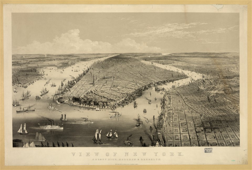
george hayward
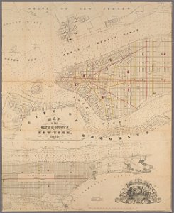
manual of the corporation of the city of new york (1858)
maps from valentine's manual
national register of historic places with known ids
maps from the earth and its inhabitants, vol. vi
maps indicating exploration
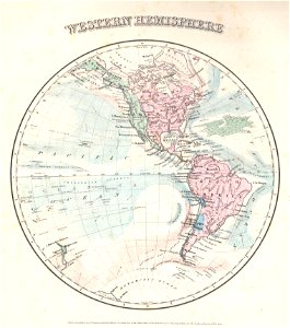
old maps of earth's hemispheres
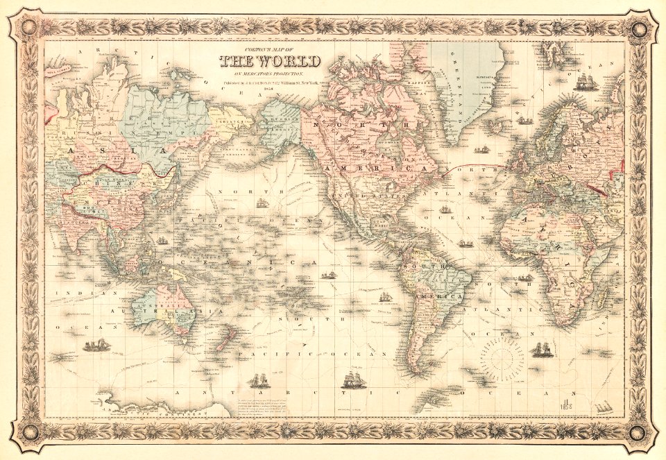
maps by joseph hutchins colton
württembergische flurkarte 1:2.500
1858 maps
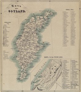
maps of gotland
pehr arvid säve
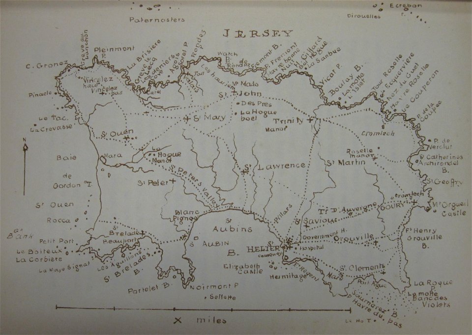
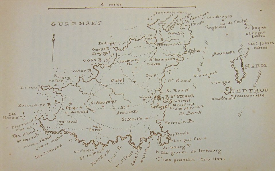
old maps of jersey
1858 maps
württembergische flurkarte 1:2.500
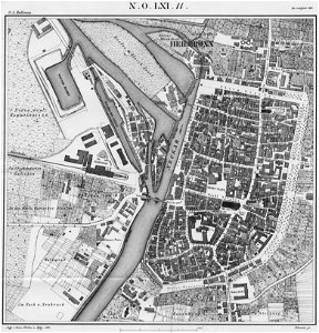
heilbronn
george hayward
new york city
australia
maps
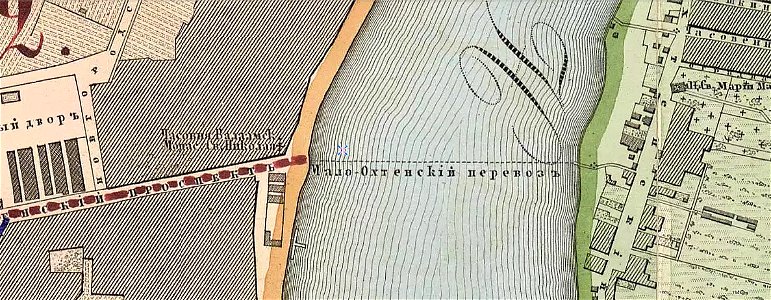
krasnogvardeysky district of saint petersburg
maps made in the 19th century
old maps of new brunswick
old maps of newfoundland
walter cooper dendy
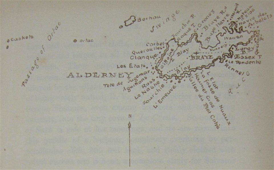
maps of alderney
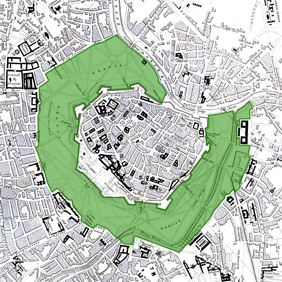
vienna
glacis
walter cooper dendy
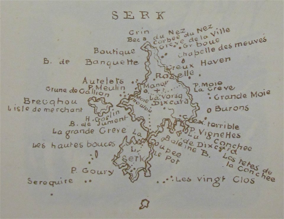
maps of sark
old maps of guernsey
walter cooper dendy
chromolithograph
new york city
self-published work
pages with maps
battle of long island
new york city
francis d'avignon
george hayward
francis d'avignon
george hayward
chromolithograph
currier and ives
19th-century maps of tibet
1850s maps of china
architecture
town
architecture
town
self-published work
pages with maps
self-published work
architecture
winter
snow
building structure
town
self-published work
pages with maps
self-published work
architecture
manual of the corporation of the city of new york (1858)
battle of long island
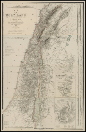
1858 van de velde maps of palestine and jerusalem
1850s maps of jerusalem
1858 van de velde maps of palestine and jerusalem
1858 van de velde maps of palestine and jerusalem
1858 van de velde maps of palestine and jerusalem
1858 van de velde maps of palestine and jerusalem
1858 van de velde maps of palestine and jerusalem
1858 van de velde maps of palestine and jerusalem
1858 van de velde maps of palestine and jerusalem
charles william meredith van de velde
belad bechara
charles william meredith van de velde
al-dalhamiyya
1858 in illinois
1858 maps
self-published work
pages with maps
1858 van de velde maps of palestine and jerusalem
1850s maps of lebanon
admiralty charts region b: england wales ireland english channel southern north sea
admiralty charts 2401-2600
charles william meredith van de velde
tel tanninim
1858 van de velde maps of palestine and jerusalem
eran laor cartographic collection
incidents of travel in central america, chiapas, and yucatan (1858)
romanticism
utagawa school,kasei culture,ukiyo-e
utagawa hiroshige
1858 van de velde maps of palestine and jerusalem
eran laor cartographic collection
1858 van de velde maps of palestine and jerusalem
eran laor cartographic collection
1858 van de velde maps of palestine and jerusalem
eran laor cartographic collection
1858 van de velde maps of palestine and jerusalem
eran laor cartographic collection
1858 van de velde maps of palestine and jerusalem
eran laor cartographic collection
1858 van de velde maps of palestine and jerusalem
eran laor cartographic collection
1858 van de velde maps of palestine and jerusalem
eran laor cartographic collection
1858 van de velde maps of palestine and jerusalem
eran laor cartographic collection
1858 van de velde maps of palestine and jerusalem
eran laor cartographic collection
1858 van de velde maps of palestine and jerusalem
eran laor cartographic collection
1858 van de velde maps of palestine and jerusalem
eran laor cartographic collection
1858 van de velde maps of palestine and jerusalem
eran laor cartographic collection
1858 van de velde maps of palestine and jerusalem
eran laor cartographic collection
1858 van de velde maps of palestine and jerusalem
eran laor cartographic collection
1858 van de velde maps of palestine and jerusalem
eran laor cartographic collection
south america in the 1800s
realism
science
maps
historical
history
historical images of the saint george complex in lydda
van de velde, 1857
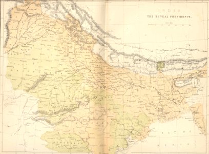
maps in the library of congress
old maps of france
historical images of lucknow
edward weller
historical
history
historical images of lucknow
edward weller
historical images of lucknow
edward weller
historical images of lucknow
edward weller
eran laor cartographic collection
william hughes (geographer)
karl ii zu schwarzenberg
eugen adam
charles william meredith van de velde
eran laor cartographic collection
1858 photographs of brest (france)
august 1858 in france
maps in the library of congress
old maps of france
gemeente atlas van nederland - limburg
maps of tegelen
ghosts & ghoulish scenes
incidents of travel in central america, chiapas, and yucatan (1858)
romanticism
notatki myśliwskie z afryki : somali (1897)
1890s maps of somalia
westmorland, cumberland, durham, and northumberland (1858)
old maps of westmorland
van de velde, 1857
gaza city in art
charles william meredith van de velde
eran laor cartographic collection
1858 stamps of sweden
pink stamps
report upon the colorado river of the west
maps by frederick w. von egloffstein
report upon the colorado river of the west
maps of the colorado river
report upon the colorado river of the west
maps of the colorado river
report upon the colorado river of the west
maps of the colorado river
westmorland, cumberland, durham, and northumberland (1858)
old maps of westmorland
charles william meredith van de velde
eran laor cartographic collection
charles william meredith van de velde
eran laor cartographic collection
narrative of an expedition to the zambesi and its tributaries
david livingstone's travels in maps
history
vintage
17th-century maps of west africa
1650 maps of africa
pioneers in south africa (1914)
m'banza kongo
1910s maps of south america
the birds of south america
the book of antelopes (1894)
1894 maps
the book of birds (1921)
1921 maps
1 - 100 of 124
Next page
/ 2


![Plan of the circle battle between the U.S. ship "Keasarge," Capt. Winslow, and the Confederate cruiser "Alabama," Capt. Raphael Semmes, off the harbor [of] Cherbourg, France: forenoon of Sunday June 19th 1864., 19 June 1864](https://cdn.creazilla.com/illustrations/10000851176/plan-of-the-circle-battle-between-the-us-ship-keasarge-capt-winslow-and-the-confederate-cruiser-alabama-capt-raphael-semmes-off-the-harbor-of-cherbourg-france-forenoon-of-sunday-june-19th-1864-19-june-1864-sm.webp)


![[Map of the defeat of the Confederate ship Alabama by the U.S. steamer Kearsarge on June 19, 1864, off Cherbourg, France].](https://cdn.creazilla.com/illustrations/10001534884/map-of-the-defeat-of-the-confederate-ship-alabama-by-the-us-steamer-kearsarge-on-june-19-1864-off-cherbourg-france-md.jpg)


